AS100 Precision Agriculture Soil Sampling offers fast, consistent soil collection for accurate data-driven farming. Ideal for nutrient analysis and field management, it helps optimize yields and resource efficiency.
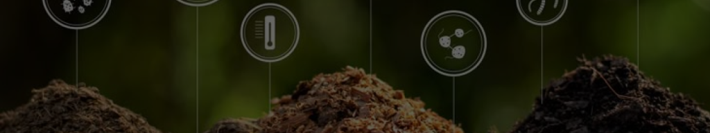
In the era of data-driven farming, high-quality soil information is the foundation of sustainable and efficient agriculture. At AllyNav, we are committed to delivering professional, intelligent, and integrated soil sampling solutions that empower growers to manage their land with precision.
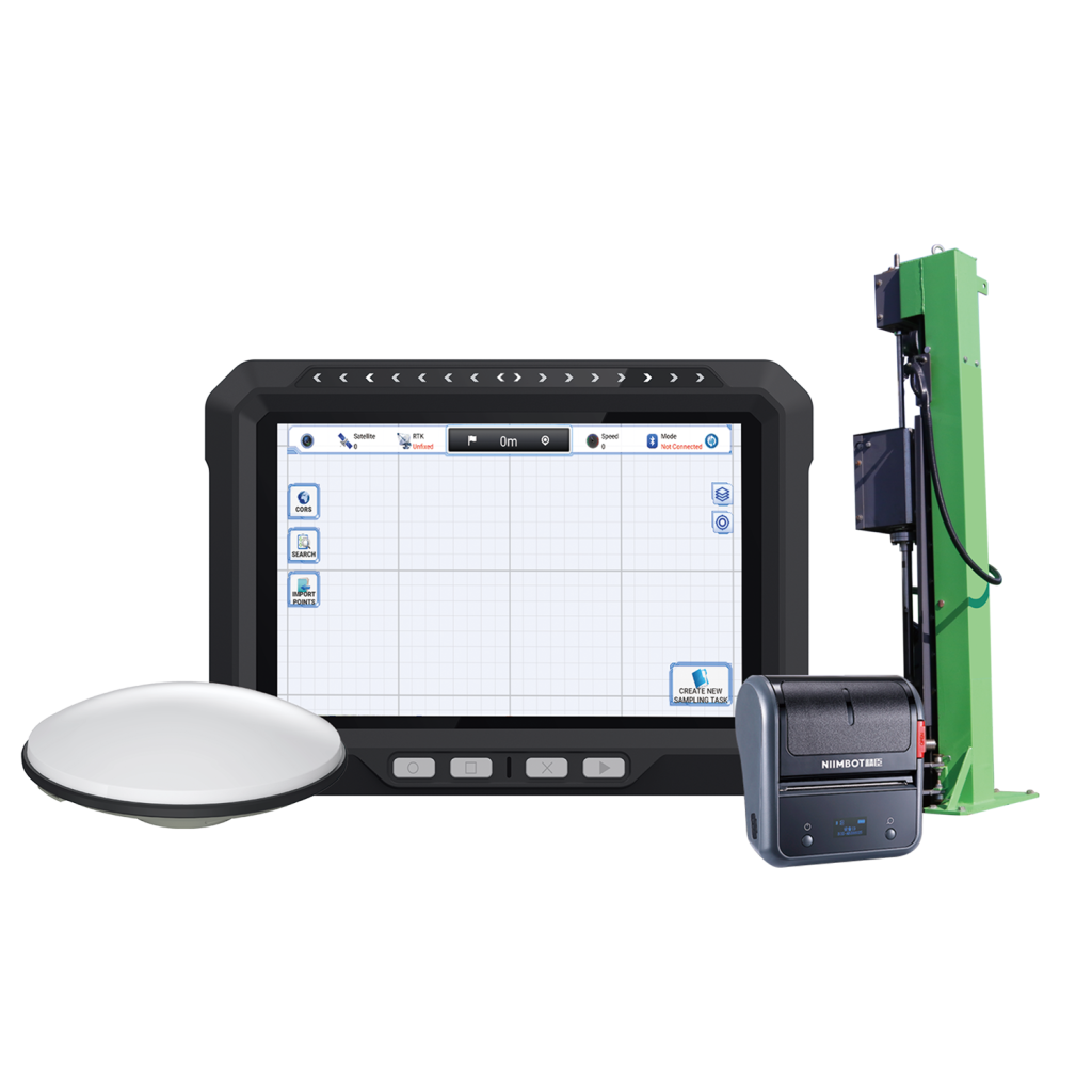
Our systems combine centimeter-level GNSS positioning, intuitive visual interfaces, and standardized sampling procedures to ensure that every soil sample is accurate, traceable, and actionable. Seamless integration with farm management platforms allows collected data to be quickly transformed into nutrient distribution maps and spatial insights—enabling smarter decisions in fertilization, irrigation, and crop rotation.
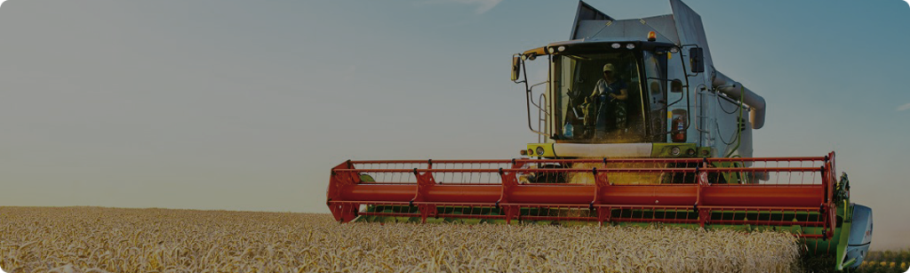
Designed for versatility, our solutions adapt to diverse terrains and equipment types, from rice fields to terraced slopes. Built to withstand harsh field conditions, they support reliable performance in any environment.
Choosing AllyNav means more than adopting a device—it’s partnering with a brand that leads agricultural digital transformation. Through continuous innovation and system-wide integration, we’re helping farms around the world achieve greater precision, sustainability, and productivity.
The device features automated sampling capabilities. Users can preset depth and location parameters, allowing the mechanical arm to automatically insert and extract samples, significantly reducing manual labor and ensuring consistent sampling.
Does the sampling data include spatial references?
Yes, the product is equipped with a high-precision GPS module that records the geographic coordinates of each sampling point, enabling precise spatial tagging.
Can the product handle layered soil analysis?
Absolutely. It supports sampling at different soil depths , meeting the requirements for vertical soil nutrient and structure profiling.
How does the product ensure sample integrity?
It is equipped with a contamination-free sampling mechanism, such as replaceable or self-cleaning sampling tubes, to avoid cross-contamination between sites.


 Skip to content