

Free from physical interference
The antenna unit has high gain and wide pattern beam, which ensures the reception effect of low-elevation angle signals, and can still receive satellites normally in some occasions with serious occlusion
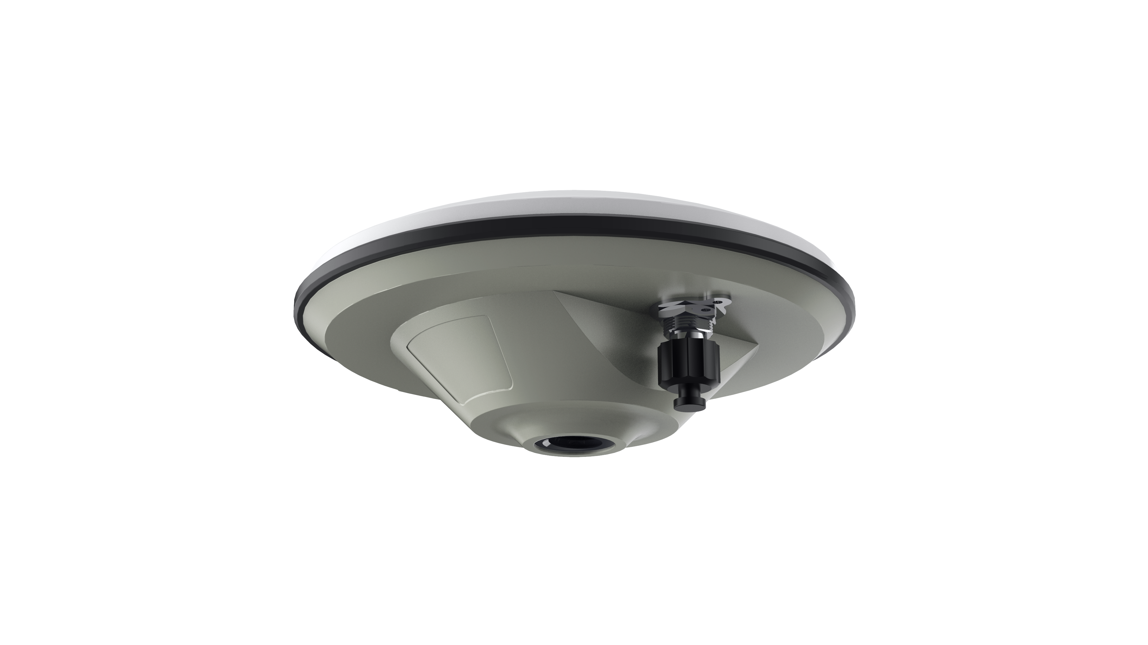
A10 GNSS ANTENNA
A10 antenna tracks all constellations including GPS, GLONASS, BeiDou, Galileo & QZSS. With its shock resistance, IP67 protection level, it is ideal for precise agriculture.
Hardware protection
Featuring IP67 waterproof and anti-ultraviolet cover, to ensure that the antenna can work in the field for a long time


High precision
The antenna part adopts a multi-feed point design scheme to achieve the coincidence of the phase center and the geometric center, and minimize the influence of the antenna on the measurement error
SIGNAL TRACKING |
PHYSICAL |
ENVIRONMENTAL |
LNA |
|
Noise Figure: ≤2dB VSWR Output: ≤2.0 Operation Voltage: 3 - 18VDC Operation Current: ≤45mA Ripple: ±1dB Group Delay: <5ns |
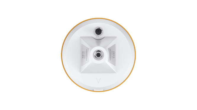
Dimension: Φ152x62.2mm Connector: TNC Female Weight: 374g Mounting Configuration: 5/8"x 11 Threaded |
Operating Temperature: -40℃ to +85℃ Environmentally Sealed Type: IP67 Humidity: 95% No-condensing GPS: L1, L2, L5 GLONASS: L1, L2 BeiDou: B1, B2, B3 Galileo: E1, E5a/E5b, AltBoc SBAS: Support L-Band: Support |
Impedance: 50 Ohm Polarization: RHCP Axial Ratio: ≤3dB Azimuth Coverage: 360° Gain at Zenith: 5.5dBi Phase Center Accuracy: ±2mm LNA Gain: 40dB |
 A10-DATASHEET


About Us
Shanghai AllyNav Technology Co., Ltd. was established in 2015. Based on GNSS navigation, AllyNav expands the application of the agricultural science industry, focusing on agricultural IoT, agricultural machinery autopilot, and the core algorithms of autonomous. We have exported to more than 30 countries like Canada, Brasil, Argentina, Spain, Russia, South Africa, Japan, Thailand, etc. AllyNav products provide farmers with precise and efficient solutions, to free farmers' hands and highly increase production capacity.


Contact Us
ADD: 1.Room 201, Building No.1, Lane 215, Gaoguang Road, Qingpu District, Shanghai , China
TEL:+86 21-61200180
E-MAIL:globalsales@allynav.cn
Subscribe

Copyright © 2023 Allynav All Rights Reserved |